Offline maps
A whole country fits on your phone. Down in a valley with no coverage the map behaves exactly as it does in town, because nothing is fetched over the network.
Bike navigation
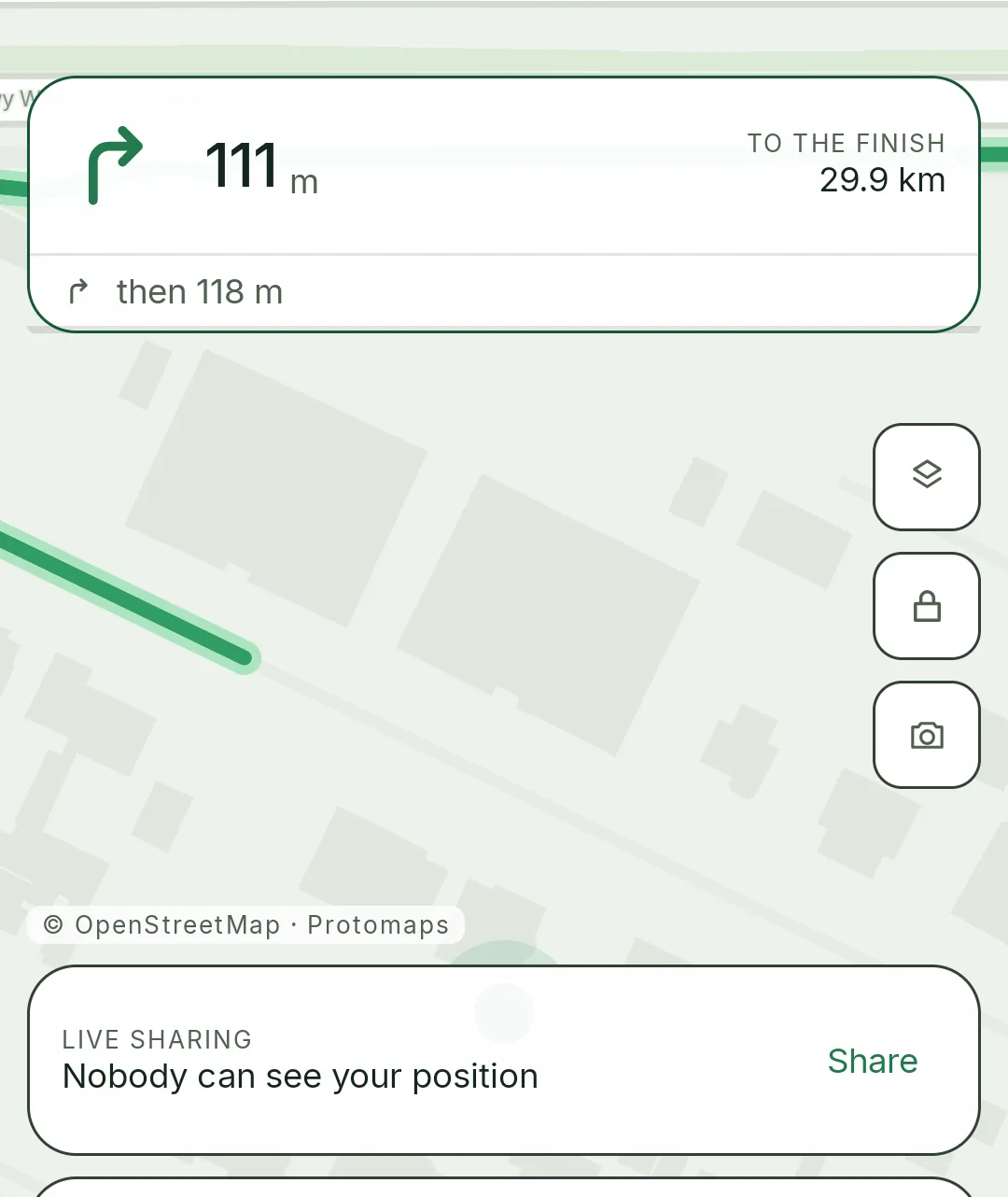
It guides you where there is no signal. The people at home watch your position on a map without creating an account. And your Garmin shows what the phone shows.
Rydio is not on Google Play yet — it is being written and tested on real rides. The ride dashboard already works: an account, your ride history and the live tracking view.
What you will not find elsewhere
A whole country fits on your phone. Down in a valley with no coverage the map behaves exactly as it does in town, because nothing is fetched over the network.
One link, sent before you set off. Whoever opens it sees the map, your pace and the distance covered — no app, no account, no sign-in.
Route, numbers and a map on the Epix. Heart rate travels from your wrist into the ride, and the watch records its own FIT file for Garmin Connect.
Also while riding
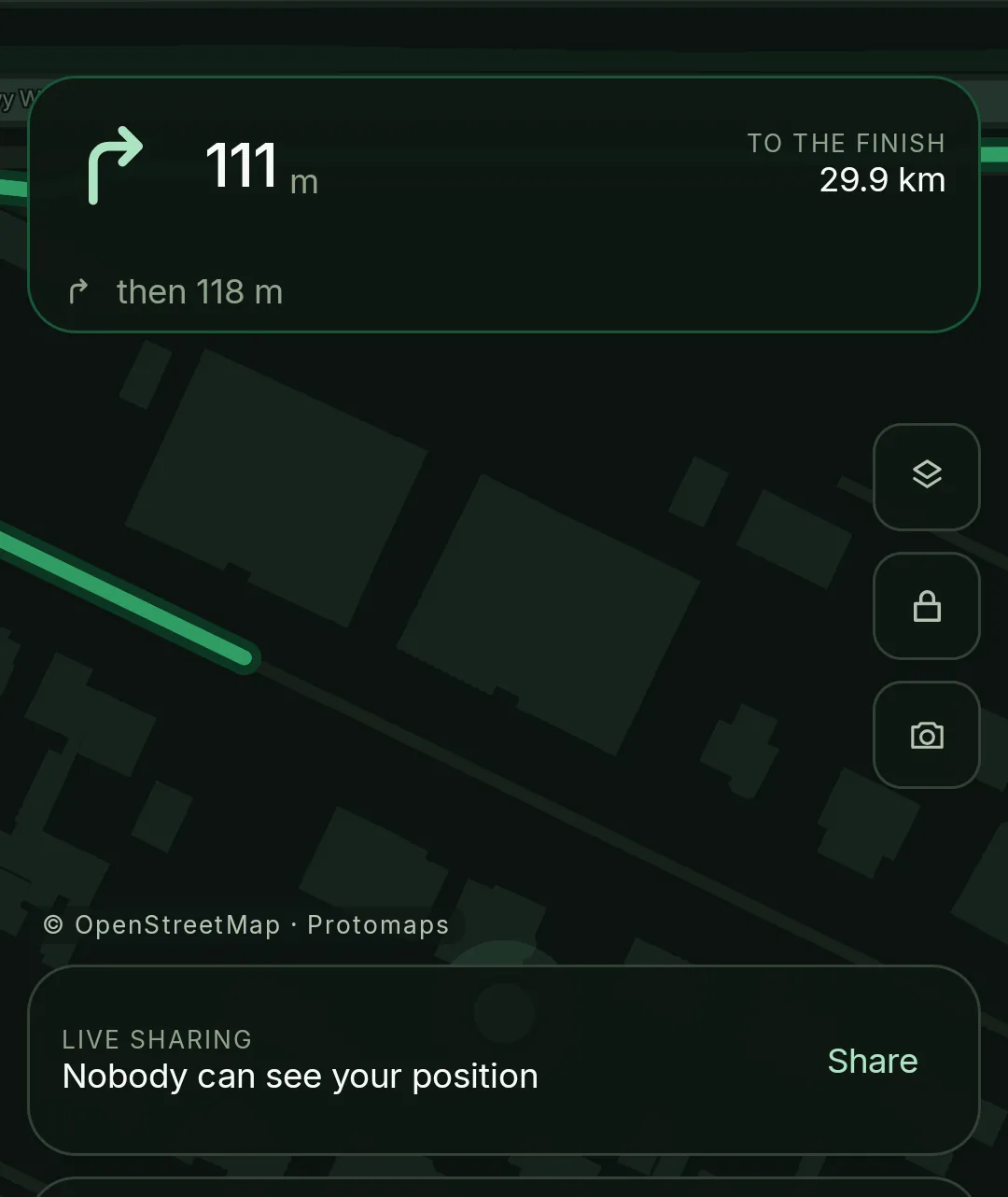
Load a GPX file or drop points on the map and let Rydio do the rest. Turns are announced out loud, and if you leave the route it works out the way back.
SOS sends your position to the people watching. The countdown can be heard and felt through a pocket, because an alarm only visible on screen is one you miss.
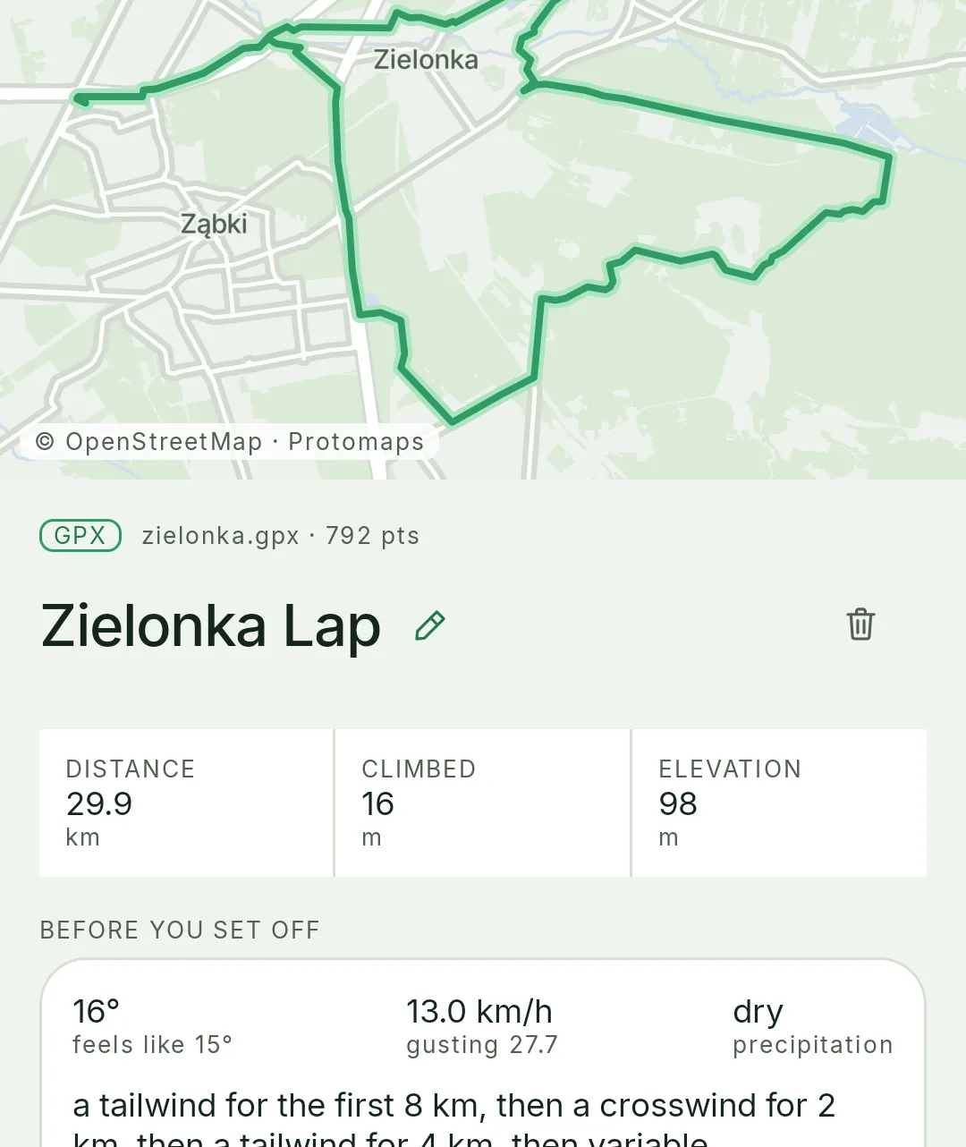
The profile of the next climb before it starts. Wind broken down along the route tells you which way round to ride the loop.
On screen
Back home
Every ride with its map, elevation profile, speed and heart rate. Monthly totals, year-on-year comparison and records — longest, highest, fastest.
Every track on one map. Roads you ride each week glow brighter than the ones you rode once.
Photos pinned to the spot on the route, a summary image to share, and the full GPX file to download whenever you want it.
Why
A map that works with no signal, a link for the people at home, the route on my watch — I wanted each of these on the bike, and found each of them on the far side of a subscription. Small on its own, another monthly bill together, for something the phone in my pocket can already do.
Rydio is the app where those things are on this side. No premium tier, no features unlocked by paying, and no ads — because there is nobody to sell the data to.
Your data
Rydio runs on its own server in Europe rather than on somebody else’s platform. There are no ads and no profiling, because there is nobody to sell the data to.
Ride backup goes over Wi-Fi only by default and can be switched off entirely — then your history never leaves the phone. Tracking links expire, and an account can be deleted together with everything that belongs to it.